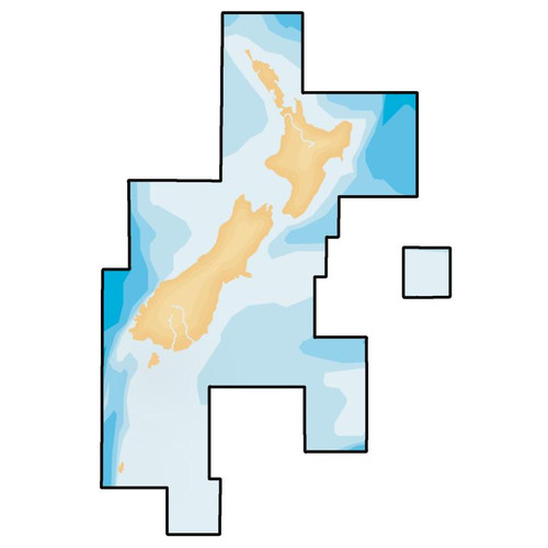
Navionics+ Regions chart card for New Zealand
Navionics+ Regional Charts give you all the features of Navionics+ in a smaller area at an affordable price. Boat safer and get the most out of your time on the water!
- Includes 1 Year Subscription to updates
- Coverage Ares: New Zealand's North and South Island including Chatham Islands
- Advanced Navionics+ Festures:
- Dock-to-dock Autourouting - start your trip with a suggested route
- SonarChart™ Live - create your own maps (see video below)
- Advanced Map Options - customize your view
- Plotter Sync - plan on mobile, go on plotter!
- All-in-one max detailed cartography for marine and lakes makes Navionics+ the perfect choice for cruising, fishing and sailing.
- Get the most accurate navigational data for your GPS plotter, an exclusive 0.5 m HD bathymetry map which is enhanced by boaters like you, and unique local content shared by Navionics app users.
Navionics publishes of edits every day, so you can always have the most current charts. Daily updates and advanced features are included in the initial one year subscription.
Check Compatibility with your GPS or Chartplotter >>
| Part Number | Media Type |
|---|---|
| NAV-MSD/NAV+NZ | SD & Micro SD (MSD) |


