-

Garmin
Garmin GPSMap Chartplotter with Worldwide Basemap
Garmin GPSMap Chartplotter with Worldwide Basemap It’s the industry’s first integrated 4K resolution touchscreen chartplotter. Enjoy edge-to-edge clarity and luxury on a glass helm with premium design and materials plus enhanced connectivity...
-

Raymarine
Raymarine Axiom+ 12 Chart Plotter Only (No Sonar)
Raymarine Axiom+ 12 Chart Plotter Only The successor to Raymarine’s award-winning Axiom® line of MFDs, Axiom+ is engineered for speed, responsiveness, and future expansion. Available in 7", 9", and 12" display models, Axiom+ comes...
-

Raymarine
Raymarine Axiom+ 9 Chart Plotter with RealVision 3D, 600W Sonar & RV-100 Transducer
Raymarine Axiom+ 9 Chart Plotter with Integrated RealVision 3D 600W Sonar, with RV-100 Transom Mount Transducer The successor to Raymarine’s award-winning Axiom® line of MFDs, Axiom+ is engineered for speed, responsiveness, and future...
-

Raymarine
Raymarine Axiom+ 9 Chart Plotter with RealVision 3D, 600W Sonar & No Transducer
The successor to Raymarine’s award-winning Axiom® line of MFDs, Axiom+ is engineered for speed, responsiveness, and future expansion. Available in 7", 9", and 12" display models, Axiom+ comes performance-tuned with a powerful quad-core...
-

Raymarine
Raymarine Axiom+ 9 Chart Plotter
Raymarine Axiom+ 9 Chart Plotter The successor to Raymarine’s award-winning Axiom® line of MFDs, Axiom+ is engineered for speed, responsiveness, and future expansion. Available in 7", 9", and 12" display models, Axiom+ comes...
-

Raymarine
Raymarine Axiom+ 7 Chart Plotter with RealVision 3D 600W Sonar & RV-100 Transducer
Raymarine Axiom+ 7 Chart Plotter with Integrated RealVision 3D 600W Sonar, with RV-100 Transducer The successor to Raymarine’s award-winning Axiom® line of MFDs, Axiom+ is engineered for speed, responsiveness, and future expansion. Available in...
-
On Sale!

Garmin
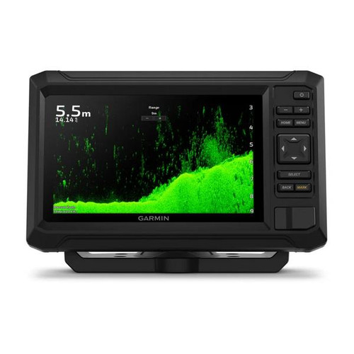
Garmin ECHOMAP UHD2 9" Chartplotter 95sv with GT56UHD-TM Transducer & Garmin Navionics+ ANZ Maps
ECHOMAP UHD2 9" Chartplotter 95sv with GT56UHD-TM Transducer & Garmin Navionics+ Australia NZ Maps When it comes to catching more fish, they say, "Talk to a local." With the ECHOMAP UHD2 chartplotter, which offers Garmin's best-in-class sonar and...
-

Raymarine
Raymarine Axiom+ 7 Chart Plotter with RealVision 3D, 600W Sonar, No Transducer
The successor to Raymarine’s award-winning Axiom® line of MFDs, Axiom+ is engineered for speed, responsiveness, and future expansion. Available in 7", 9", and 12" display models, Axiom+ comes performance-tuned with a powerful quad-core...
-

Raymarine
Raymarine RV-212P RealVision 3D Through Hull Transducer - Bronze - Port Only
Raymarine’s RV-200 series bronze through hull transducers are designed for inboard and outboard powerboats. Compatible with Axiom MFDs with RV, RVX and RVM. The RV-200 series lets you easily identify structures and locate fish with the life-like...
-
On Sale!

Garmin
Garmin ECHOMAP UHD2 7" Chartplotter 75sv with GT54UHD-TM Transducer & Garmin Navionics+ ANZ Maps
Garmin ECHOMAP UHD2 7" Chartplotter 75sv with GT54UHD-TM Transducer & Garmin Navionics+ Australia & NZ Maps When it comes to catching more fish, they say, "Talk to a local." With the ECHOMAP UHD2 chartplotter, which offers Garmin's best-in-class...
-

Raymarine
Raymarine Axiom+ 7 Chart Plotter
Raymarine Axiom+ 7 Chart Plotter The successor to Raymarine’s award-winning Axiom® line of MFDs, Axiom+ is engineered for speed, responsiveness, and future expansion. Available in 7", 9", and 12" display models, Axiom+ comes...
-

Garmin
Garmin ECHOMAP UHD2 6" Chartplotter 65sv with GT54UHD-TM Transducer & Garmin Navionics+ ANZ Maps
Garmin ECHOMAP UHD2 6" Chartplotters 65sv with GT54UHD-TM Transducer and Garmin Navionics+ Australia & NZ Maps When it comes to catching more fish, they say, “Talk to a local.” With the ECHOMAP UHD2 chartplotter, which offers our...
-

Garmin
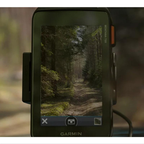
Garmin Montana 700i - Rugged GPS Touchscreen Navigator with inReach Technology & 8MP Camera
SEE THE WORLD. STAY IN TOUCH. BE THE PICTURE OF ADVENTURE. The rugged Montana 750i handheld combines the flexibility of on- or off-road navigation with global messaging and interactive SOS via inReach satellite technology1 — plus a built-in...
-

Garmin
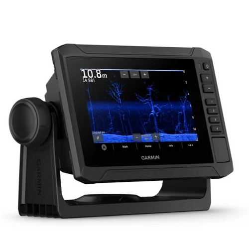
Garmin ECHOMAP UHD2 7" Chartplotter 75cv with GT20-TM Transducer and Garmin Navionics+ ANZ Maps
Garmin ECHOMAP UHD2 75cv with GT20-TM Transducer and Garmin Navionics+ Australia & New Zealand Mapping They say locals know best. But anyone who says that hasn’t fished with the ECHOMAP UHD2 5" and 7" chartplotters with clear, crisp...
-

Garmin
Garmin GPSMAP 86i Marine Handheld With inReach Capabilities
Marine Handheld GPS with inReach® Satellite Communication Capabilities Water-resistant, floating design, sunlight-readable 3” display and button operation provide ease of use on the water Stream boat data from compatible chartplotters and...
-

Raymarine
Raymarine Element 7 S - 7" Chart Plotter with Wi-Fi & GPS, Australia & New Zealand LightHouse Chart & No Transducer
Raymarine Element 7 S - 7" Chart Plotter with Wi-Fi & GPS, Australia & New Zealand LightHouse Chart & No Transducer The Raymarine ELEMENT S series represents a breakthrough in the realm of marine navigation, offering a suite of chartplotters...
-

Garmin
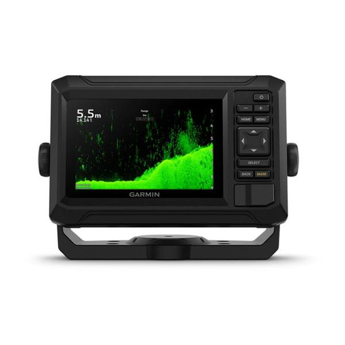
Garmin ECHOMAP UHD2 5" Chartplotter 55cv with GT20-TM Transducer & Garmin Navionics+ ANZ Maps
Garmin ECHOMAP UHD2 5" Chartplotter 55cv with GT20-TM Transducer & Garmin Navionics+ Australia NZ Maps They say locals know best. But anyone who says that hasn’t fished with the ECHOMAP UHD2 5″ and 7″ chartplotters with clear,...
-

Garmin
Garmin GPSMAP 65 - Multi-band/multi-GNSS Handheld
FIND YOUR WAY IN THIS BIG, WIDE WORLD Explore more with this rugged handheld that offers optimal tracking accuracy, a 2.6-inch colour display and preloaded maps. Don’t miss a detail with this large, sunlight-readable colour display. Lead the...
-

Garmin
Garmin GPSMAP 79s - Marine Handheld With Worldwide Basemap
Garmin GPSMAP 79s - Marine Handheld With Worldwide Basemap Stay on course, and track more adventures with these rugged, floating handhelds. It’s water-resistant, it floats, and it’s fogproof, so it belongs on the water —...
-

Garmin
Garmin Navionics Platinum+ Australia, East & Central to New Zealand - Inland & Coastal Marine Chart
Garmin Navionics Platinum+ Australia, East & Central to New Zealand - Inland & Coastal Marine Chart IMPORTANT: This product is for Garmin devices only. It will not work with non-Garmin products. This item cannot be returned if purchased...

Note - There are shipping delays for some online orders from 18/2/26 until 23/2/26 due to a supplier's warehouse relocation.


