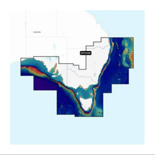
Garmin Navionics Platinum+ Australia, East & Central to New Zealand - Inland & Coastal Marine Chart
IMPORTANT:
- This product is for Garmin devices only.
- It will not work with non-Garmin products.
- This item cannot be returned if purchased incorrectly.
- Refer to the Chartplotter Compatibility Guide for Navionics Maps for non-Garmin devices.
External Links:
- Learn the difference between Garmin Navionics+ and Garmin Navionics Vision+
- Check Marine Charts & Maps compatibility for Garmin devices
Your purchase includes charts, maps and any content downloaded during the one-year subscription period. An active subscription is required to continue accessing new content such as daily updates after the included one-year ends.
INTEGRATED MAPPING FOR A WIDE RANGE OF CHARTPLOTTERS
- A comprehensive, all-in-one solution, Navionics+ charts and maps combine clear, reliable coastal/inland content with advanced guidance features and compatibility with a wide range of chartplotter brands.
- Navigate with our best offshore and inland lake coverage for your compatible chartplotter.
- See it your way. Customise your view with various chart layers and overlay combinations.
- With your included 1-year subscription, access daily updates via the Navionics chart installer software.
- Advanced route guidance technology lets you navigate with suggested dock-to-dock routings.
- Selectable map options let you highlight shallow areas, adjust contour density or select a fishing range.
- Save moneY while continuing to access daily updates plus new content downloads — by renewing your subscription.
ALL-IN-ONE MAP SOLUTION
- Access detail-rich mapping of coastal features, lakes, rivers and more on a wide range of compatible chartplotters. Integrated coastal and inland lake content offers coverage for boaters worldwide.
DAILY CHART UPDATES
- Charts are constantly being enhanced with new and amended content — thousands of updates are made every day. The included 1-year subscription gives you access to daily chart updates via the Navionics chart installer software.
DOCK-TO-DOCK ROUTE GUIDANCE
- Advanced route guidance technology2 uses your boat settings, along with chart data and frequently traveled routes, to calculate a suggested path to follow from dock to dock.
UP TO 0.5 M CONTOURS
- For improved fishing and navigation, up to 0,5 m contours provide a clear depiction of bottom structure for fishing charts as well as enhanced detail in swamps, canals, harbours, marinas and more.
ADVANCED MAP OPTIONS
- Change the way you view Navionics charts to focus on the details that matter most to you. Highlight shallow areas, adjust contour density, or select a fishing range.
COMMUNITY EDITS
- Download community edits for useful local knowledge added by users of the Navionics Boating app, and view the data on your compatible chartplotter.
| Part Number | Chart Type | Region |
|---|---|---|
| GMN-010-C1464-40 | Navionics Platinum+ | Australia, East & Central to New Zealand |


